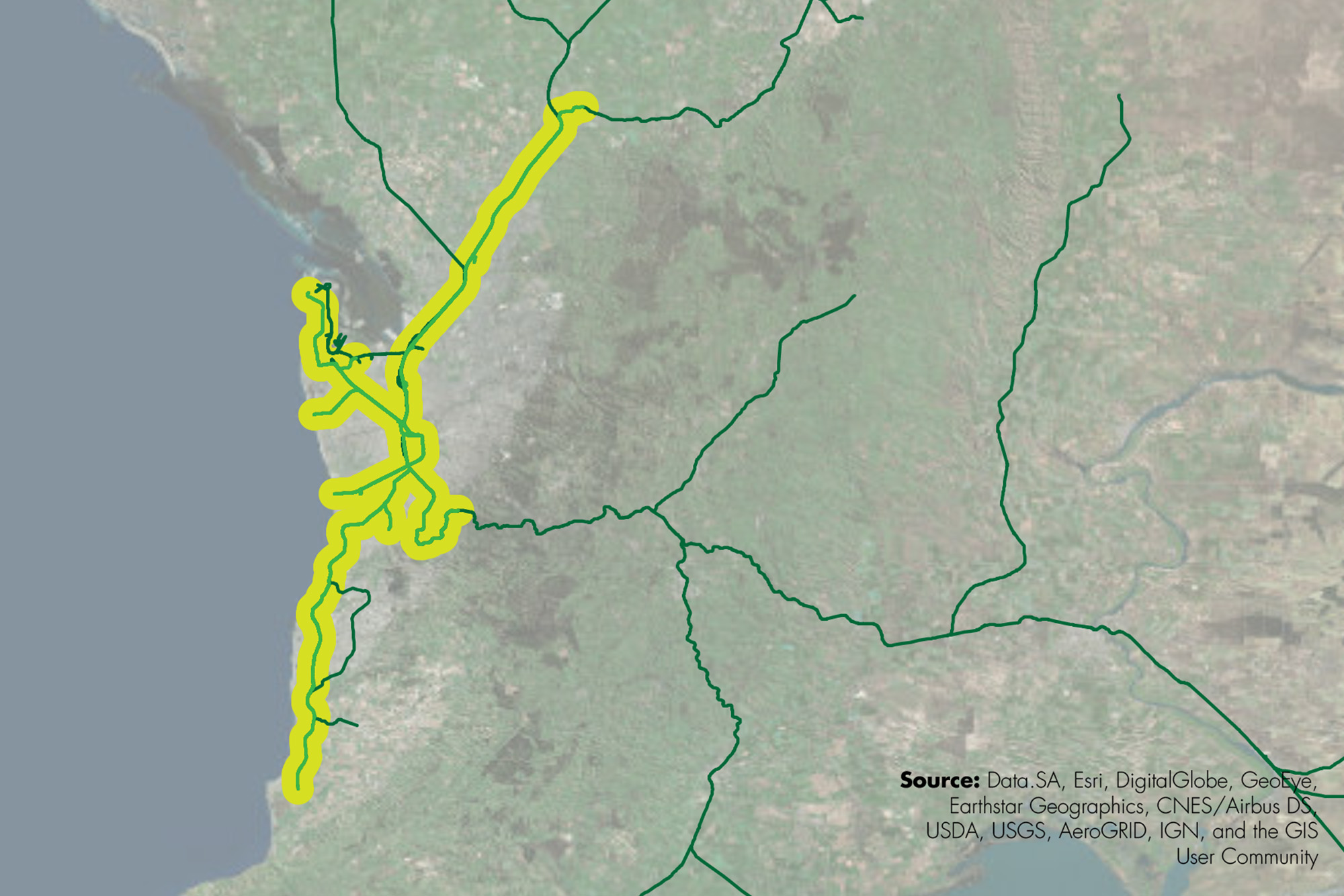
Transportation planning services were provided to the Government of South Australia to identify locations for transit-oriented development along corridors as part of the 30-Year Plan for Greater Adelaide. Tasks included developing a method to evaluate the desired densification of regional, major and district centers considering the urban growth boundary. A variety of sources were used to undertake this study, including previous research, State growth priorities, GIS datasets and data from the Australian Bureau of Statistics. This study informed the location, type and densification of land uses as well as considered the nexus of rail, road and bike/pedestrian trails corridors. Project undertaken while working for Connor Holmes.


